3D Laser Scanning Surveys

Capture the built environment with millimetre accuracy.
PointSCAN delivers high-definition 3D laser surveys that transform real-world spaces into precise digital data for design, engineering, and construction.

What Is a 3D Laser Scanning Survey?

3D laser scanning is a modern survey technique that uses laser measurement technology to capture millions of data points per second. The result is a dense, high-accuracy point cloud — a digital record of the real-world environment that can be viewed, measured, and modelled in CAD or BIM software.

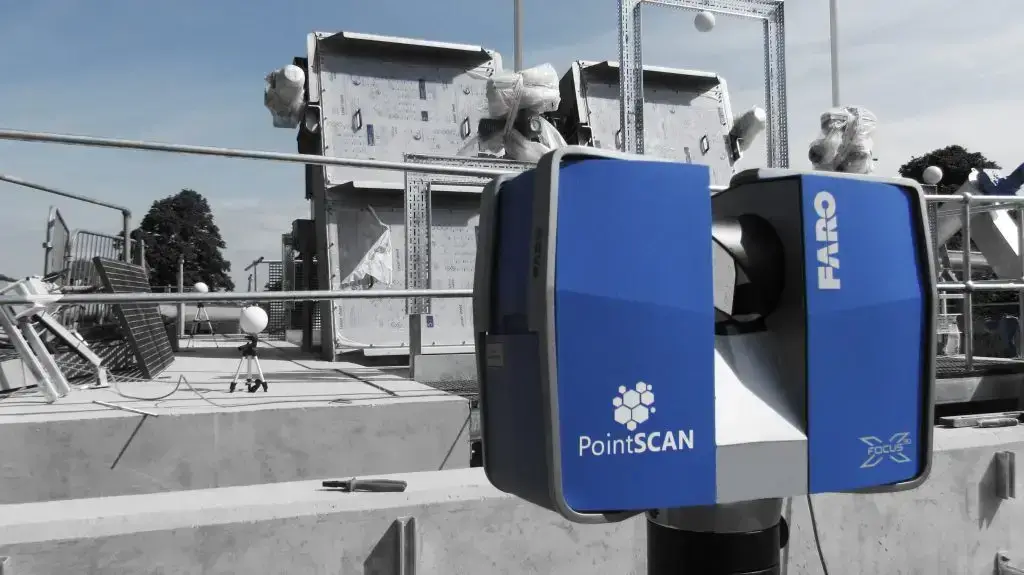
At PointSCAN, we use advanced FARO Focus scanners to capture internal and external environments safely, efficiently, and in incredible detail. Our surveys provide a reliable foundation for design, engineering, and asset management — ensuring every millimetre of your site is accurately recorded.

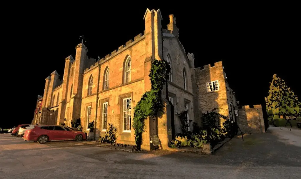
Transforming point cloud data to accurate 3D models

Our Laser Scanning Capabilities

  • High Accuracy
    ±1mm precision using industry-leading FARO Focus laser scanners.

  • Comprehensive Coverage
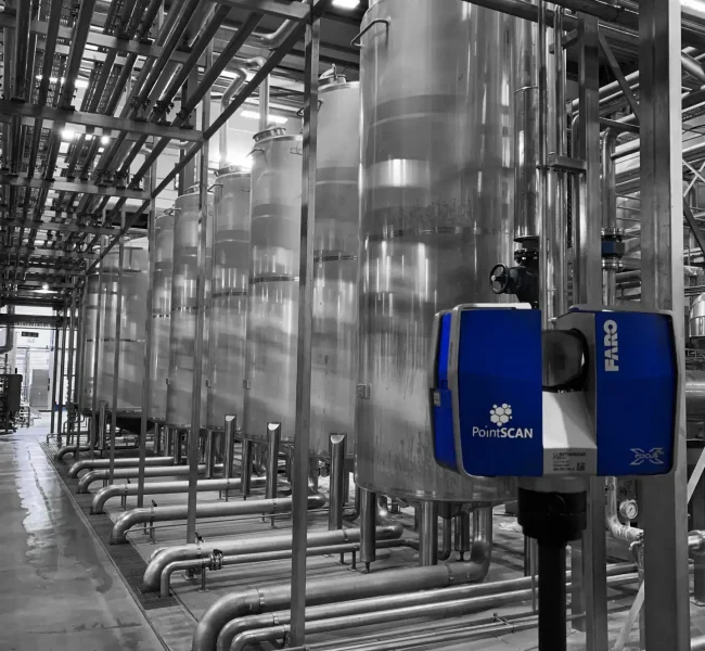
    From confined chambers to large industrial facilities, our workflows adapt to any environment.

  • Multi-Platform Deliverables
    Registered point clouds, 2D CAD drawings, 3D Revit models, and panoramic TruView or Webshare outputs.

  • Fast Turnaround
    Efficient capture and automated processing deliver verified data quickly to your project team.

How We Deliver Accurate Results

1️⃣ Site Assessment
Experienced engineers assess access, visibility, and safety to plan scanner positions and coordinate setup.

2️⃣ Data Capture
Precision laser scanning equipment acquires millions of spatial      points and 360° imagery to capture your site.

3️⃣ Registration & Quality Control
All scans are processed, registered, verified, and geo-referenced to aligned to your project coordinate system.

4️⃣ CAD & BIM Modelling
Data is processed into deliverables including 2D drawings, 3D models, or BIM objects.

5️⃣ Delivery & Review
Final deliverables are checked, approved, and securely shared via your preferred format.

Setting the Standard for Accuracy

Every PointSCAN survey is completed in line with RICS guidance and PAS 128 principles, ensuring traceable, verifiable accuracy.
Our QA processes include on-site control verification, instrument calibration, and documented registration reports.

We supply point clouds at Level of Detail (LOD) 100–500, enabling compatibility with all major CAD and BIM software, including AutoCAD, Revit, MicroStation, and Navisworks.


Clients across the UK & Europe that have benefited from our 3D laser scanning surveys.

Supporting Every Industry

  • Architecture & Design

  • Water & Utilities

  • Construction & Infrastructure

  • Heritage & Conservation

  • Industrial & Manufacturing

  • Energy & Renewables

Each sector benefits from PointSCAN’s commitment to precision, safety, and dependable digital deliverables.

Get More Accurate Measurement Data with 3D Laser Surveys

Leading UK Laser Scanning Company completes heritage survey on iconic carriage

The benefits of laser scanning include:

Accuracy – It has an accuracy of plus or minus 1mm, which means that it’s accurate enough for most applications.

Speed – For small objects (under 2m), scans can be completed in just minutes.

Versatility – Point cloud scans can be performed on almost any type of surface, including curved surfaces and objects with moving parts.

Why Clients Trust PointSCAN

  • Experienced Professionals
    Accredited survey engineers with decades of industry experience.

  • Confined Space Expertise
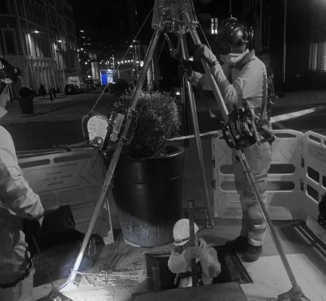
    Fully trained and equipped for safe operation in restricted or hazardous environments.

  • Quality Assured
    Robust QA processes and traceable control networks for every project.

  • Nationwide Coverage
    Rapid response and consistent results across the UK.

  • Client Focused
    Tailored outputs, flexible delivery, and clear communication at every stage.

Transforming Real-World Environments into Digital Accuracy

Whether you need an accurate as-built record, clash detection data, or a full BIM-ready model, PointSCAN can help you capture it with confidence.

Lidar Image
Camera Image

Ready to Start Your Next Survey?

High-Definition 3D Imaging

PointSCAN’s laser surveys are equipped with laser scanners that capture high-definition 3D imagery. This imagery can be used throughout the design, delivery, and completion processes to ensure that everything is up to the highest standards. This also makes it easier to spot potential issues early on and saves time and money in the long run.

Select your sector to find out more

3D laser scanning in Letchworth
Water & Wastewater
PointSCAN 3D laser scanning
Engineering & Construction
Leading UK Laser Scanning Company completes heritage survey on iconic carriage
Heritage & Restoration
PointSCAN arboricultural tree survey
Arboriculture
PointSCAN complete 3D laser survey or Measured Building Survey at Lords Cricket Ground
Buildings & Architecture
PointSCAN complete 3D laser survey at Castle Howard
Film & Media

Request a 3D Laser Survey Quotation

Receive a fast, accurate quotation for your next project — whether it’s industrial, commercial or residential.
Provide a few project details below and one of our survey engineers will prepare a tailored proposal, including scope, deliverables and timescales

Alternatively give us a call on 01767 661400 and a member of our team will be happy to discus you project requirements