
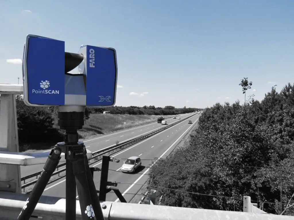
3D laser scanning, also known as Light Detection and Ranging (LiDAR), has revolutionized the field of surveying, offering unprecedented accuracy and efficiency. In bridge and roadway surveys, this technology provides detailed, high-resolution data that is essential for design, construction, and maintenance. This article explores how 3D laser scanning is employed in these surveys, its benefits, applications, and future potential.
Understanding 3D Laser Scanning
3D laser scanning involves emitting laser beams towards a target and measuring the time it takes for the beams to return. This process generates a dense point cloud of data, capturing the precise geometry of the surveyed area. The resulting data can be processed to create detailed 3D models, maps, and plans, which are invaluable for various engineering and construction purposes.
Applications in Bridge Surveys
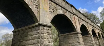
Structural Analysis and Design: 3D laser scanning provides highly accurate geometric data of existing bridge structures. This data is crucial for engineers to analyse the structural integrity, assess deformation or wear, and design reinforcements or modifications. Detailed 3D models help in visualising the entire structure, identifying potential problem areas, and planning maintenance or upgrades efficiently.
Historical Documentation and Preservation: For historical bridges, 3D laser scanning offers a non-invasive method to document and preserve the structure’s current state. High-resolution scans capture intricate details and dimensions, allowing for precise replication or restoration efforts. This digital documentation serves as a permanent record that can be referenced for future preservation initiatives.
Construction and Rehabilitation Projects: During bridge construction or rehabilitation, 3D laser scanning aids in monitoring the progress and ensuring compliance with design specifications. Scans can be performed at various stages to compare the actual construction with the planned design, detecting any deviations early. This ensures quality control and reduces the likelihood of costly errors or rework.
Load Capacity and Safety Assessments: Accurate geometric data from laser scans allow engineers to simulate and analyse load distribution and stress points on bridge structures. This is essential for evaluating the load capacity and ensuring the safety of the bridge under various traffic conditions. Regular scanning can help in identifying any structural changes that might affect the bridge’s performance over time.
Applications in Roadway Surveys
Topographic Mapping and Terrain Modelling: 3D laser scanning excels in creating detailed topographic maps and terrain models for roadway design and construction. The high-resolution data captures the existing landscape’s nuances, aiding in the design of road alignments, grading, and drainage systems. Accurate terrain models help engineers to minimize earthworks and optimise the design for cost-effectiveness.
As-Built Surveys and Quality Control: After roadway construction, as-built surveys using 3D laser scanning ensure that the completed road aligns with the design specifications. These surveys provide a precise record of the finished road, helping in quality control and documentation. Any discrepancies between the design and actual construction can be quickly identified and rectified.
Asset Management and Maintenance: 3D laser scanning supports the efficient management and maintenance of road networks. Periodic scans provide up-to-date data on the road conditions, identifying cracks, deformations, or other signs of wear. This information is crucial for planning maintenance activities, prioritising repairs, and allocating resources effectively.
Environmental Impact Assessment: During the planning phase of new road projects, 3D laser scanning aids in environmental impact assessments. Detailed terrain and vegetation data help in understanding the potential impact of the road on the surrounding environment. This information is essential for designing environmentally friendly roadways and obtaining regulatory approvals.
Benefits of 3D Laser Scanning
Accuracy and Detail: One of the most significant advantages of 3D laser scanning is its high accuracy and level of detail. The technology can capture millions of data points per second, providing a comprehensive and precise representation of the surveyed area. This accuracy is critical for engineering applications where even minor errors can have substantial consequences.
Efficiency and Speed: 3D laser scanning is significantly faster than traditional surveying methods. Large areas can be scanned in a fraction of the time, reducing the time required for data collection and processing. This efficiency translates to cost savings and faster project completion times.
Safety: Laser scanning reduces the need for surveyors to physically access hazardous or hard-to-reach areas. For instance, in bridge surveys, scans can be performed from a safe distance, minimizing the risk to personnel. Similarly, roadway surveys can be conducted without disrupting traffic, enhancing safety for both workers and motorists.
Versatility: The versatility of 3D laser scanning makes it suitable for a wide range of applications beyond bridge and roadway surveys. The technology can be used in urban planning, mining, forestry, and archaeology, among other fields. This versatility increases the return on investment for organisations that adopt the technology.
Data Integration and Visualization: The data collected from 3D laser scans can be easily integrated with other digital tools and platforms. For instance, point cloud data can be imported into CAD software for detailed design work or into GIS systems for spatial analysis. Advanced visualisation tools allow for interactive 3D models, enhancing the understanding and communication of complex information.
Future Potential and Advancements
The future of 3D laser scanning in bridge and roadway surveys looks promising, with ongoing advancements in technology and applications. Innovations in mobile laser scanning, drone-based LiDAR, and real-time data processing are set to further enhance the capabilities and efficiency of 3D laser scanning.
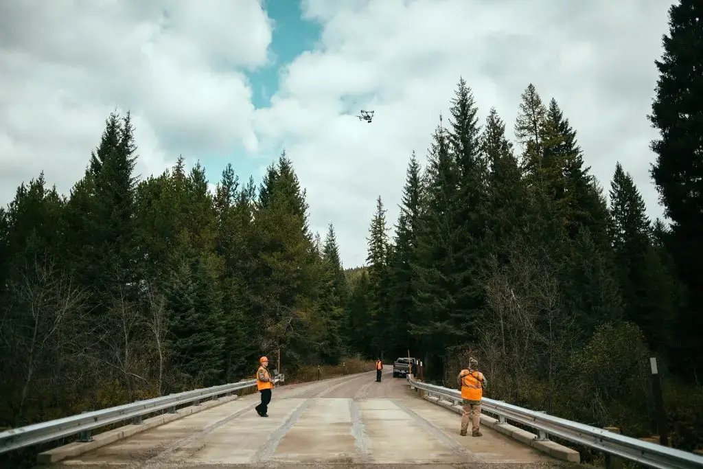
Mobile and Drone-Based Scanning: Mobile LiDAR systems mounted on vehicles can capture data while moving, making it possible to survey long stretches of road quickly. Similarly, drones equipped with LiDAR can access areas that are difficult or dangerous to reach, providing high-resolution data from different perspectives.
Real-Time Data Processing: Advances in real-time data processing and machine learning algorithms are improving the speed and accuracy of data interpretation. Real-time processing allows for immediate analysis and decision-making, which is particularly useful in dynamic environments such as construction sites.
Integration with Building Information Modelling (BIM): The integration of 3D laser scanning with Building Information Modelling (BIM) is becoming increasingly common. BIM provides a comprehensive framework for managing the entire lifecycle of infrastructure projects, from design to maintenance. Incorporating accurate 3D scan data into BIM enhances the overall efficiency and effectiveness of project management.
Enhanced Visualization and Virtual Reality: Enhanced visualisation techniques, including virtual and augmented reality, are making it easier to interpret and interact with 3D scan data. Engineers and stakeholders can explore virtual models of bridges and roadways, gaining a better understanding of the projects and making informed decisions.
3D laser scanning is a transformative technology in bridge and roadway surveys, offering unparalleled accuracy, efficiency, and versatility. Its applications span from structural analysis and construction monitoring to asset management and environmental assessments. As the technology continues to advance, its role in improving the design, construction, and maintenance of infrastructure will only grow, paving the way for safer, more efficient, and sustainable transportation networks.
Have a project that requires precise modelling? Visit PointSCAN for your 3D laser scanning needs.