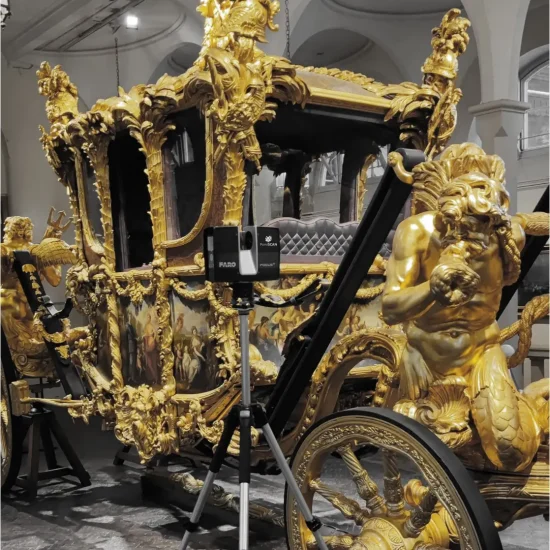
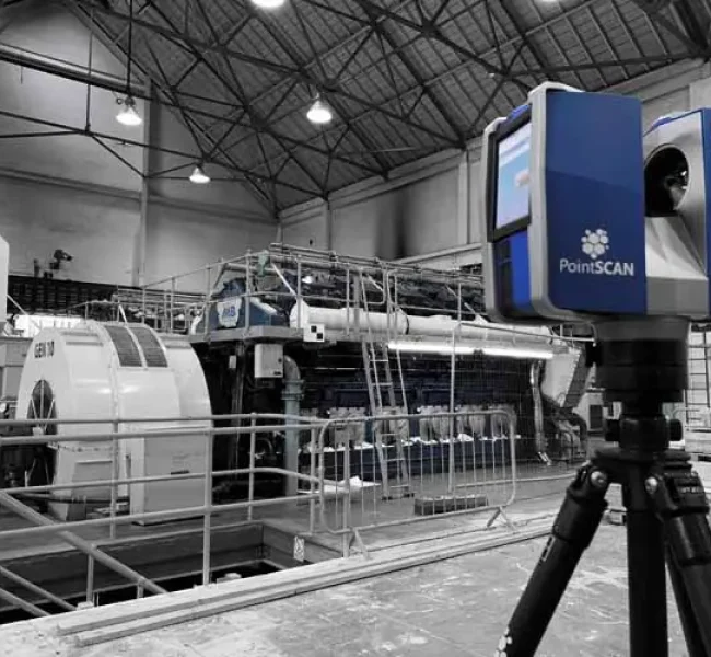
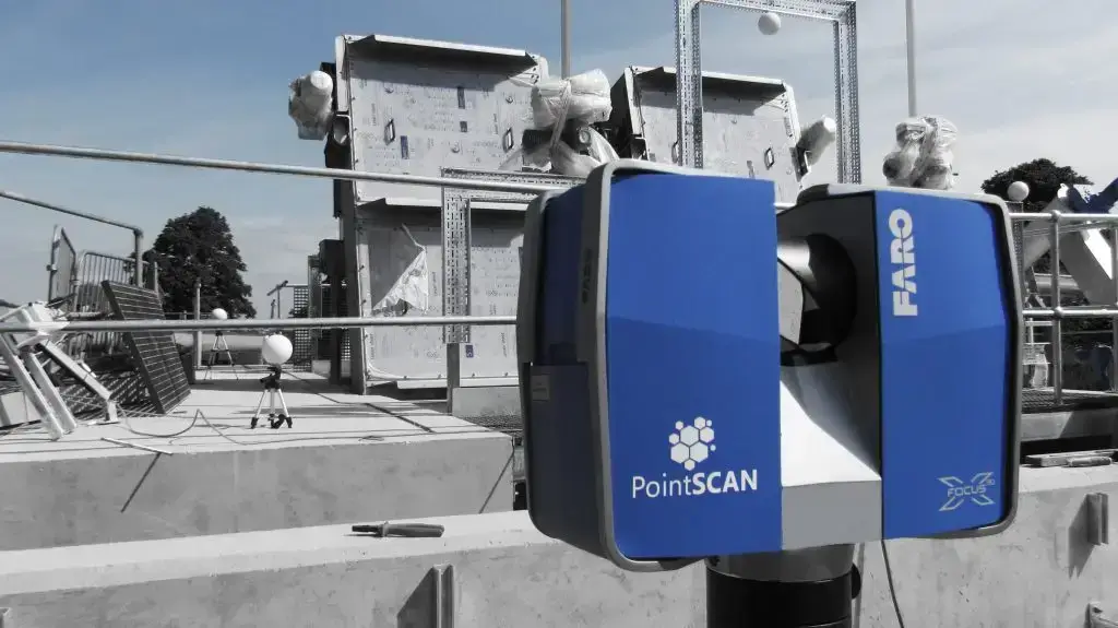
In Oxford, 3D laser scanning provides an indispensable tool for surveying the city’s globally significant heritage—its colleges, libraries, and chapels. Our high-definition scanners capture ornate stonework, complex geometries and centuries-old structures without disturbance, producing precise, trustworthy point clouds, drawings and BIM-ready models that support conservation and architectural research. This digital accuracy assists specialists in planning sensitive refurbishments, structural evaluations and long-term preservation strategies, helping safeguard Oxford’s historic fabric while enabling modern upgrades and restoration works to be delivered with confidence and precision.
Trusted by Oxford’s leading developers and design practices
High-Accuracy Surveys for
Architecture, Engineering, & Construction
PointSCAN provides professional 3D laser scanning and measured building surveys across the UK and the surrounding region. Using industry-leading 3D laser scanning equipment and advanced point cloud processing, our survey teams capture every millimetre of detail—delivering precise digital models that support design, renovation, and verification projects of any scale.
Whether you’re an architect, structural engineer, contractor, or property developer, we provide the reliable data foundation you need to make informed design and construction decisions.
Our high-definition laser scanning service captures millions of data points per second to produce a complete, accurate 3D record of your building or site. The resulting point cloud can be supplied in a range of formats and used directly within AutoCAD, Revit, Navisworks, and other BIM environments.
Typical outputs include:
Point cloud data (.E57, .RCP, .PTS, .LAS)
2D CAD drawings (plans, elevations, sections)
3D Revit / BIM models
TruView or JetStream online viewing portals
As simple as converting s point cloud to a 3D model
Our 3D laser scanning surveys give you the confidence to design, plan, and build with precision. Every dataset is fully registered, verified, and compatible with AutoCAD, Revit, and all major BIM platforms.
Oxford's No.1 choice for 3D Laser Scanning Surveys
Whether your project is commercial, industrial, or residential, our national survey teams deliver the precision data you need to design and build with confidence.
Using industry-leading 3D laser scanning technology, we capture every detail safely and efficiently — from high-rise developments and heritage façades to plant rooms and confined spaces. Every survey produces accurate point clouds, CAD drawings, and BIM-ready models tailored to your project’s requirements.
Get in touch to discuss your site and receive a fixed quotation and delivery programme from our national team.
Receive a fast, accurate quotation for your next project — whether it’s industrial, commercial or residential. Provide a few project details below and one of our survey engineers will prepare a tailored proposal, including scope, deliverables and timescales
Alternatively give us a call on 01767 661400 and a member of our team will be happy to discus you project requirements
This website uses cookies to improve your experience. We'll assume you're ok with this, but you can opt-out if you wish.AcceptRead More
Privacy & Cookies Policy
Privacy Overview
This website uses cookies to improve your experience while you navigate through the website. Out of these, the cookies that are categorized as necessary are stored on your browser as they are essential for the working of basic functionalities of the website. We also use third-party cookies that help us analyze and understand how you use this website. These cookies will be stored in your browser only with your consent. You also have the option to opt-out of these cookies. But opting out of some of these cookies may affect your browsing experience.
Necessary cookies are absolutely essential for the website to function properly. This category only includes cookies that ensures basic functionalities and security features of the website. These cookies do not store any personal information.
Any cookies that may not be particularly necessary for the website to function and is used specifically to collect user personal data via analytics, ads, other embedded contents are termed as non-necessary cookies. It is mandatory to procure user consent prior to running these cookies on your website.