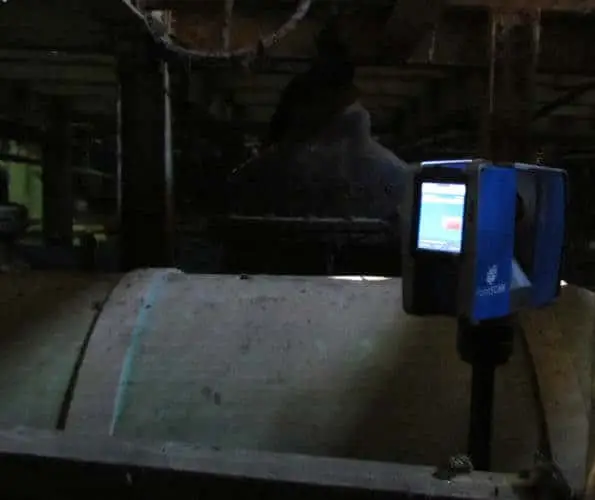
Guide to Laser Scanning in Confined Spaces | Safe Digital Surveying Practices
Reducing the risks associated with confined space entry.
Guide to Laser Scanning in Confined Spaces | Safe Digital Surveying Practices Read More »

PointSCAN delivers highly accurate engineering laser scanning and dimensional control surveys for infrastructure, utilities, and fabrication environments. Our 3D data capture ensures precise spatial validation of components, pipework, and structural systems for fabrication and maintenance.
Using industry-leading FARO Focus technology, we create fully registered point clouds that support modelling, as-built verification, and reverse engineering. The resulting outputs integrate directly into AutoCAD, Revit, Navisworks, and other design platforms.
Whether surveying industrial plants, energy facilities, or complex service networks, we provide engineers with dependable measurement data to inform safe, efficient, and compliant project delivery.
Reducing the risks associated with confined space entry.
Guide to Laser Scanning in Confined Spaces | Safe Digital Surveying Practices Read More »
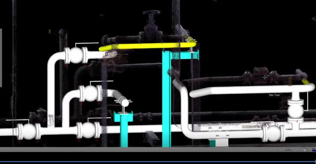
How to create efficient and cost effective as-built documentation from 3D laser surveys
As Built Documentation Read More »
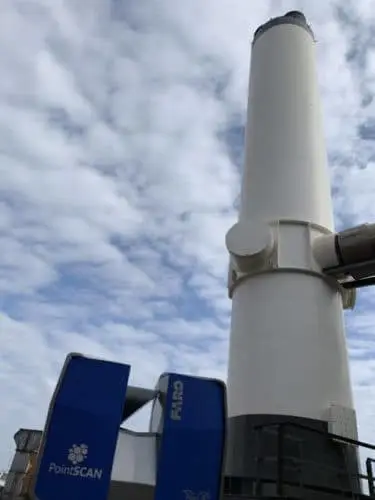
How 3D laser surveys generate project savings by reducing risk for on-site safety, improving programme and inhancing project delivery through 3D technology
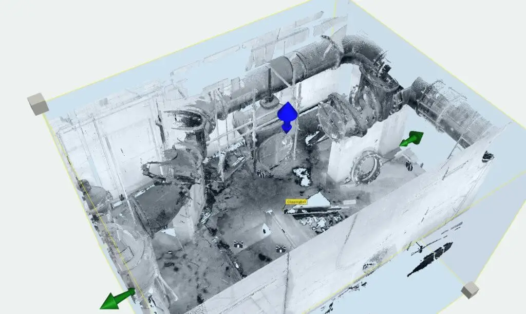
3D measurement data can capture angles between two objects when traditional measurement techniques have nothing to measure against
3D laser scanning, the right fit for engineering solutions. Read More »

PointSCAN 3D laser surveys provided accurate as-built measurement data to verify construction of take off ramp for Jaguars EPace record breaking barrel role stunt
3D laser scanning used for Guinness World Record Read More »